Previous post: Day 1: Sunset Departure

Arrival in Kamloops
We awoke extremely early (for me at least), before dawn even at around 04:00. With the curtains open we could watch the scenery go by without leaving the cabin. Soon it was light enough to start taking pictures.


We had clearly left the coast behind as the terrain was noticeably more arid. We quickly figured out that we were moving along the northern bank of Kamloops Lake which is effectively a bulge in the Thompson River which eventually joins with the Fraser.
Kamloops in fact lies at the intersection of the Thompson River flowing out of Kamloops to the West and the South Thompson and North Thompson Rivers both of which flow into Kamloops from the East and North respectively.
We crossed the North Thompson River and made a left turn into the North Kamloops train station where we would get our first opportunity to get off the train and get a bit of exercise. It was just before 06:00 when our feet hit the dirt.
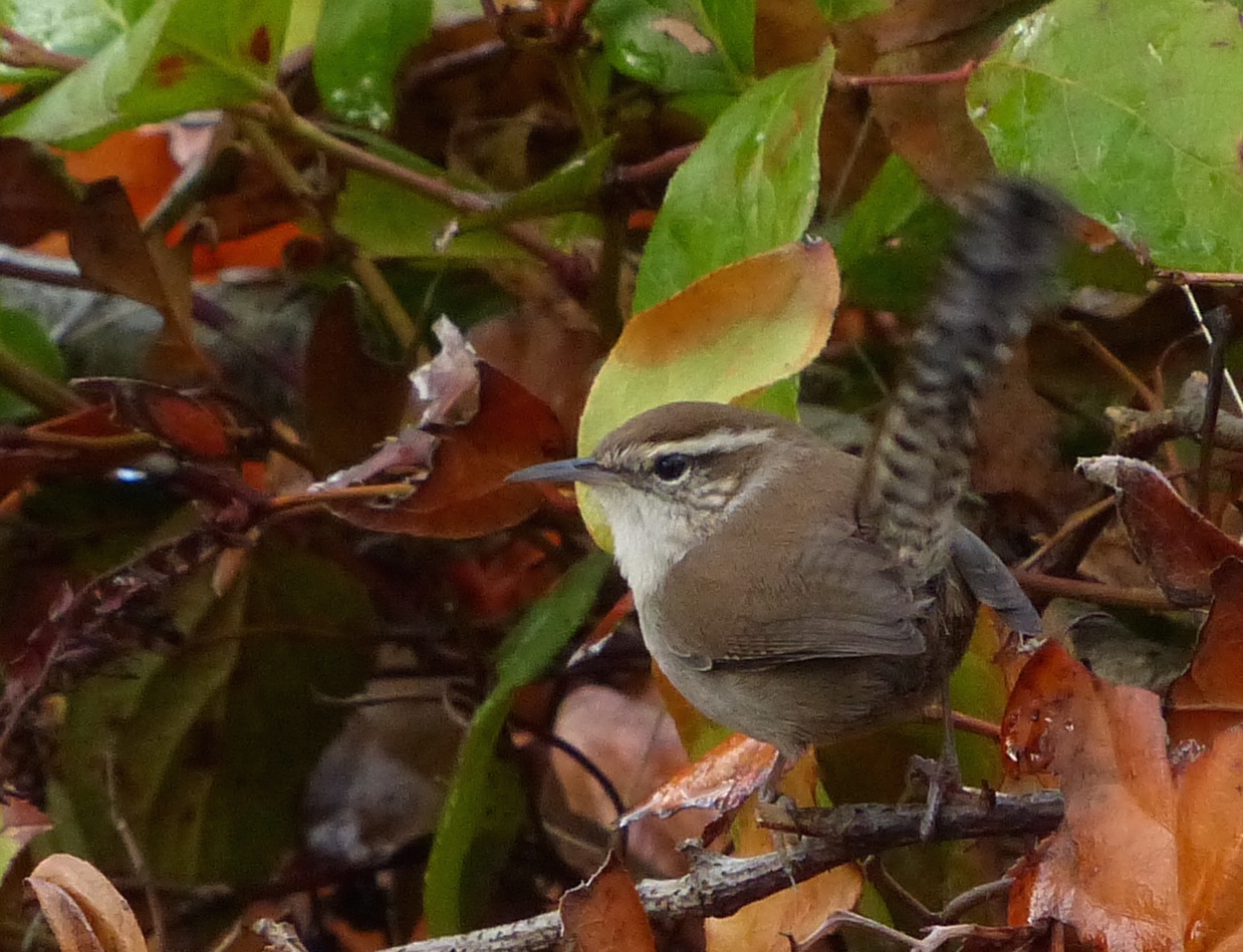
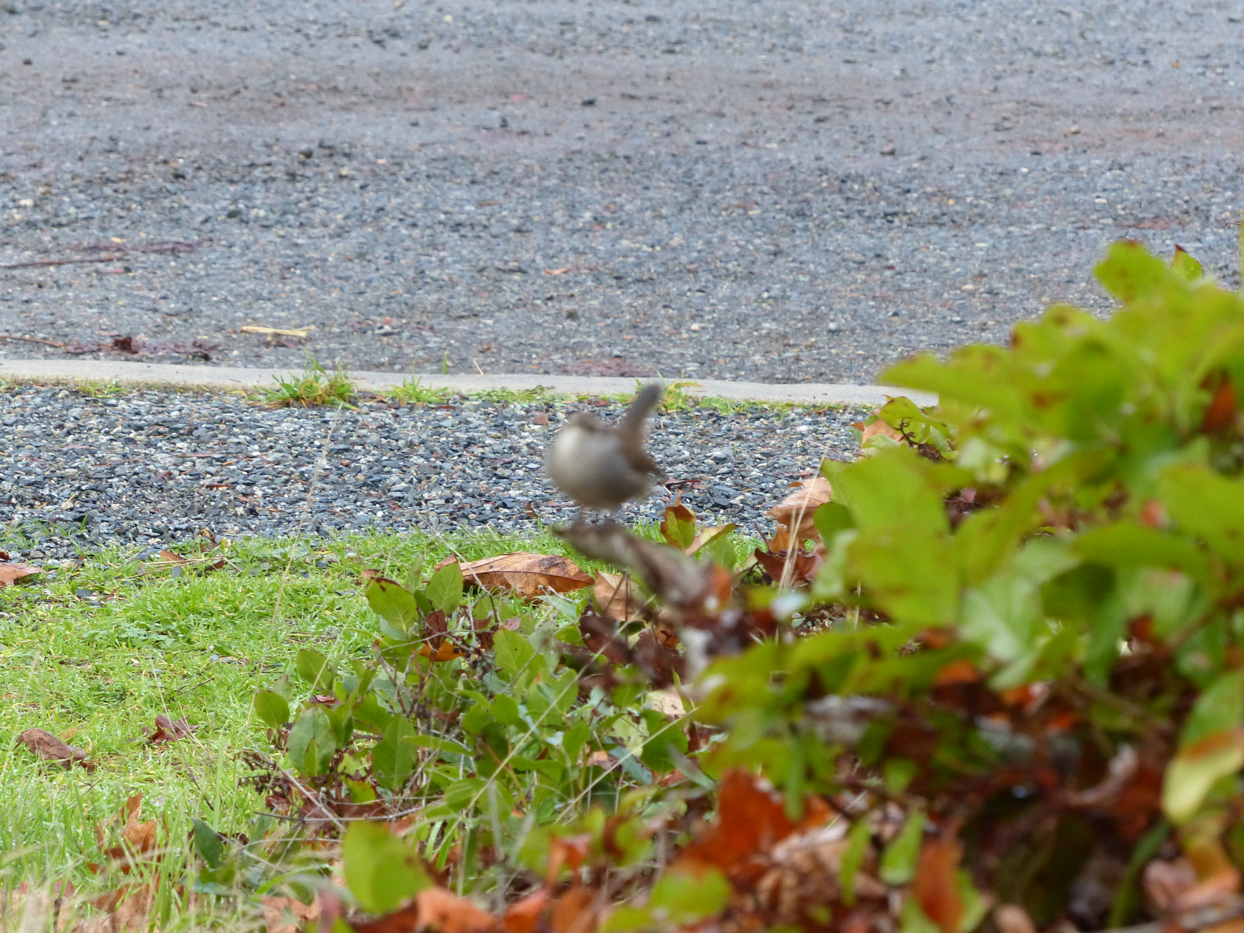
There was the expected dawn wildlife activity. A number of noisy Western Kingbirds advertised their presence. On the other hand, a Yellow-bellied Marmot almost went unnoticed as it watched us quietly from behind a hill of earth.
One lesson that we learned at Kamloops was to make sure you know when you have to board, not just when the train is due to leave.
When we finally pulled showed up to re-board, all of the doors were closed and there were no conductors in sight. A check in the train station found someone who eventually got us back on the train – but not before remarking that there was no need to worry as there would be another train in 3 days.
Following the North Thompson River
By 07:30, we were back on board for the next leg of the trip that would take us on toward Jasper Alberta..


 The CN tracks follow the North Thompson River for most of the way, eventually crossing the Continental Divide at the Alberta border.
Initially the river was wide and fairly slow flowing passing between hills covered in ‘snags’, a reminder of past forest fires. Grassy fields with browsing cattle and field full of round bales of hay were scattered along flat sections along the river.
The birding highlight of the day occurred about a half-hour out of Kamloops. On two separate occasions, a Lewis’s Woodpecker was seen flying close enough to the train to be identified with the red belly and grey/white collar easily seen. Our previous encounters with the Lewis’s Woodpecker occurred many years ago when we were living in Southern California.
If you check the breeding maps for the Lewis’s Woodpecker, you will see that this area of BC is pretty much at the northernmost part of their breeding range.
Other than the woodpecker sightings we saw relatively little animal activity.
A Stop in Blue River


 As we continued up the North Thompson River, the geography became more mountainous, and the river ran a little faster. Around 10:30, we rolled in to a small town called Blue River.
According to my (web) sources, Blue River is both halfway between Kamloops and Jasper and halfway between Vancouver and Edmonton. We arrived around 10:30 and were stopped on the tracks for a quarter of an hour or so (waiting for a freight train to pass as I recall). It might have been a nice place to explore but we were kept on the train.
If you browse the Blue River Town Web-Page you will see that they refer to themselves as the Jewel of the Yellowhead – an outdoor destination for skiing and snowmobiling in the winter and cycling, hiking, camping and fishing in the summer.
The term Yellowhead appears in many geographical contexts in this part of BC. It appears to have originally referred to the blond hair of a metis trapper and is now attached to a number of geographical names including the Yellowhead Pass, which crosses the Great-Divide and separates British Columbia from Alberta, and The Yellowhead Highway (aka Highway 16) which runs from British Columbia, through the Yellowhead Pass, all the way to Manitoba. It represents the northern branch of the Trans-Canada Highway which the CN train was following more or less.
Mountains, the River and a Waterfall


 The scenery at this point was pretty impressive. The North Thompson was flowing faster and had the lighter colour indicating a higher silt content. We saw less evidence of man made structures as we began to climb towards the Yellowhead Pass and the forests now contained mostly conifers.
About 30 km North of Blue River, the CN tracks go right in front of the Pyramid Creek Falls in a Provincial Park of the same name. In fact the train passes so close that for a few seconds, looking out the right side of the train, all you can see is a wall of falling water.
The climb up the East edge of the valley soon became obvious providing some nice views of the valley looking back to the South.
Approaching the Great Divide


 As we approached the Yellowhead Pass, some of the larger mountains came into view. The mountain covered in clouds with a small section of snow-covered rock showing is, I believe, Mount Robson which is only clear of clouds a few days each year. Mount Robson is also the highest peak in the Canadian Rockies.
Some spectacular rock-faces were also seen along the way, some even seeming to glow in the early afternoon sunlight.
As at the lower altitudes, there were patches of mature forest with some large areas covered in gray snags indicating a fire in the not too distant past.
Birds and Bears
 We only saw two raptors during the Kamloops to Jasper run. One was a Bald Eagle sitting in a tree and the other an Osprey flying overhead.
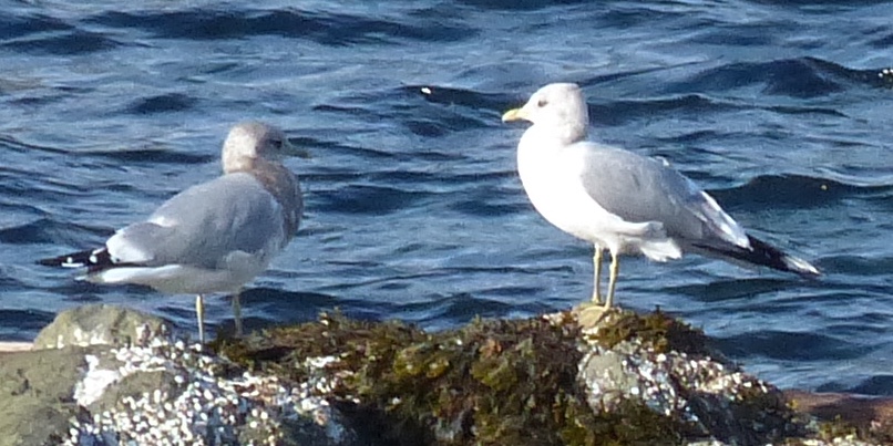
There were also a handful of ducks that we did not identify. A fair number of swallows, crows, pigeons and starlings were also seen.
On the other hand, there were two separate black bear sightings as we got closer to Jasper, one of which I captured with my camera as the train sped by (look for a black smudge at the base of a pine tree).
Jasper at Last


 In Jasper we were given about 90 minutes to explore the town. We got the postcard-sending out of the way first (though it took a while to find a mail-box).
Our original objective was to find a trail where we could go on a short ‘wilderness’ hike. My own supplementary goal was to see some of the mountain bird species such as Boreal and Black-capped Chickadees, Stellar’s and Grey Jays, Clark’s Nutcrackers, Mountain Bluebirds, etc. None of these was seen or even heard unfortunately (surprisingly) as the Rock Pigeons, European Starlings and House Sparrows appeared to have taken control of the town.
There was a noticeable tourist presence as we checked out the town though not so much as to be oppressive.
Finally, our time was up and we boarded the train for the final run out of the mountains.
Out of the Mountains


We were moving again by about 16:15. Some of the rock formations seen as we moved out of the mountains were impressive. By 20:00 we were out of the mountains into the land of grassland and lakes.
It wasn’t much longer until we called Day 2 a wrap and went to bed.
More Links
All Day 2 Pictures on Flickr
Day 1: Sunset Departure
Day 3: Saskatchewan and Manitoba